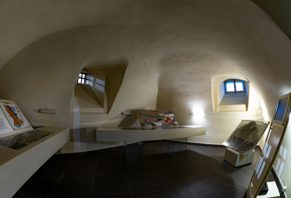
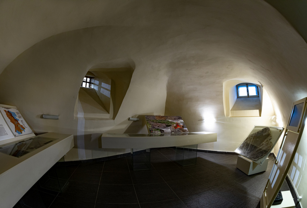
 The book introduces the geological history of the territory from the Archean to the end of the Tertiary period of the Cenozoic era (4.5 billion years - 1.67 million years).
In the Precambrian (4.5 - 0.5 billion years ago), during which the Archean and Proterozoic acrones existed in Karelia, there were seas and there were numerous mountain-building activities. It is known that the intense volcanic activity lasted from 3.4 to 1.65 billion years ago. The former volcanic center can still be observed in the vicinity of the village of Girvas. Girvas (more than 2 billion years old).
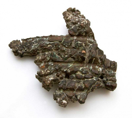
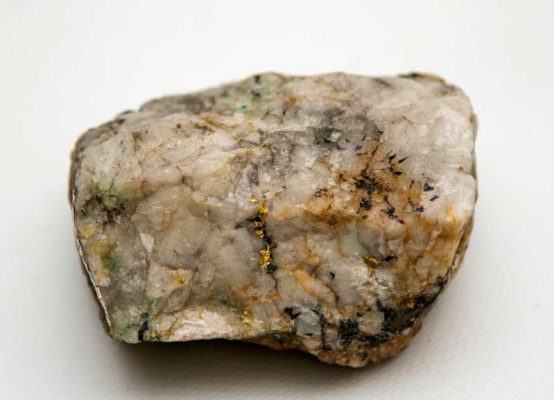
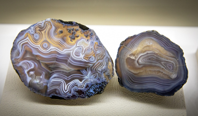
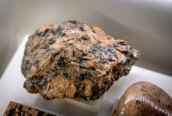
The formation of rocks such as granites, basalts, gabbro and syenites has been associated with Archean volcanism. Gold, silver, copper and iron ores, gemstones (e.g., tourmalines). During the Proterozoic, granites-rapakivi, pegmatites, quartzites, sandstones, clay shales, dolomites, marbles, shungites, kyanites, graphites, etc. emerged.
Towards the end of the Precambrian, ancient rocks were formed and the Fennoscandinavian (Baltic) Shield, in the southeast where the territory of modern Karelia now lies.
The Phanerozoic era, that included the Paleozoic, Mesozoic and Cenozoic periods, began 540 million years ago. During the Paleozoic, the territory remained a dry land, where rock erosion took place. The Paleozoic Sea, occupied the borders of the present Russian Plain, periodically advanced and retreated to the southern part of the territory, reaching the latitude of present day Petrozavodsk and Olonets.
The Mesozoic and Tertiary deposits of the Cenozoic era have not been discovered in Karelia. Geologists believe that at that time there were tectonic movements, as a result the Earth's crust was divided into blocks: there were parts of the crust that rose, forming mountains, where erosion processes began, while others were lowered and filled with water - thus the main pre-glacial relief was formed.

